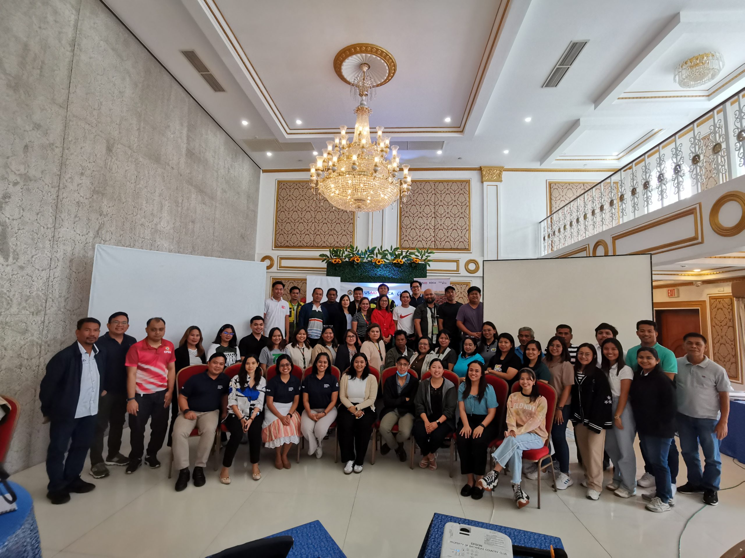
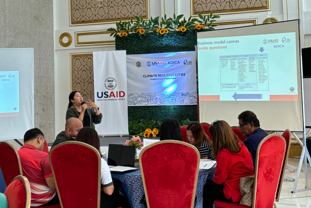
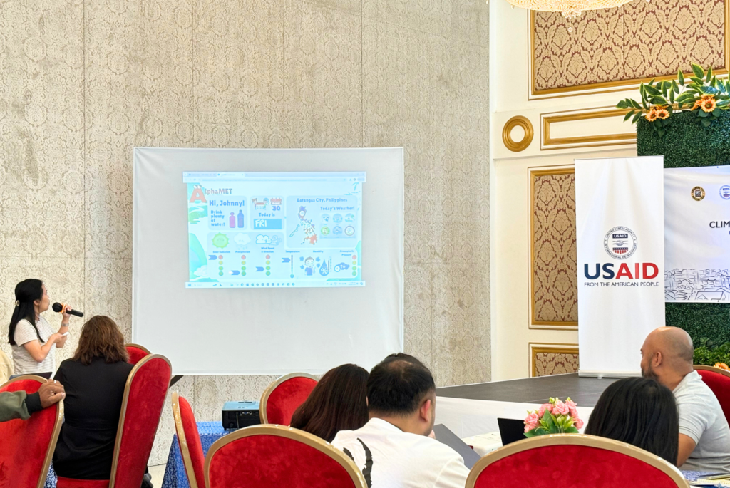
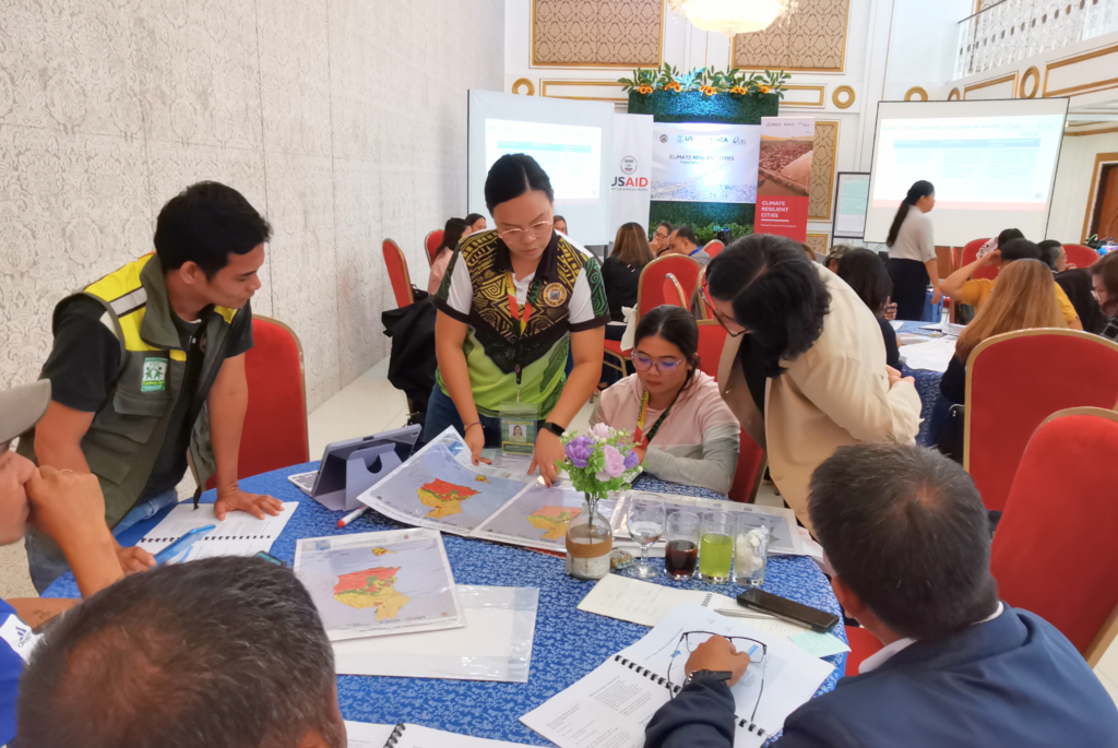
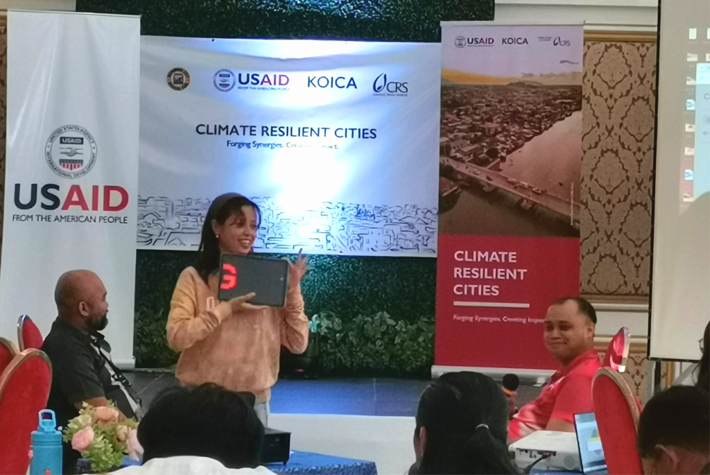
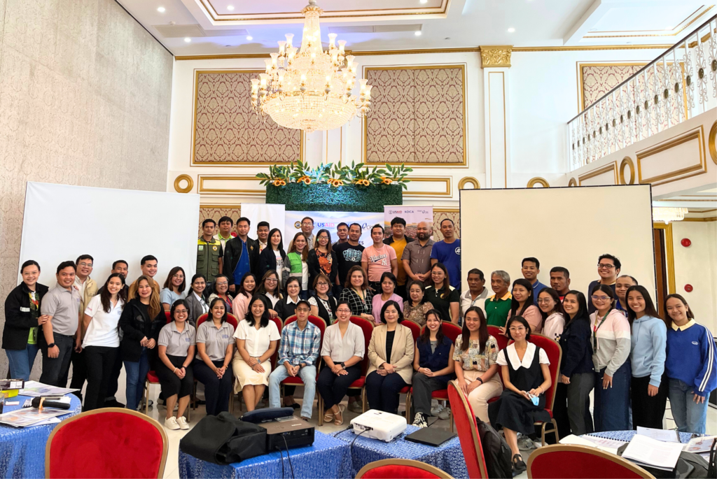
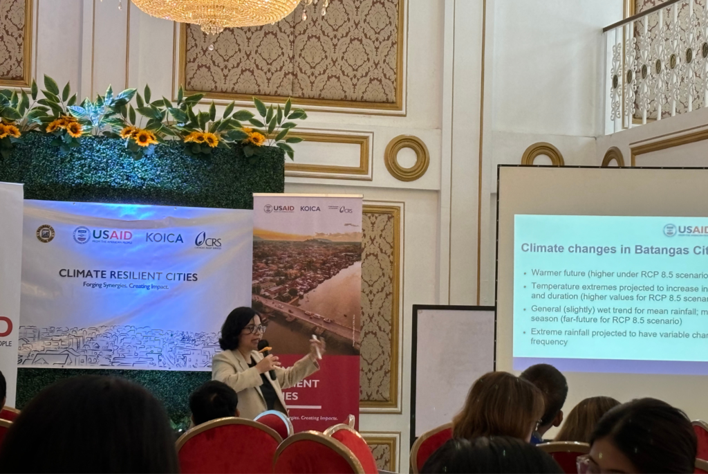
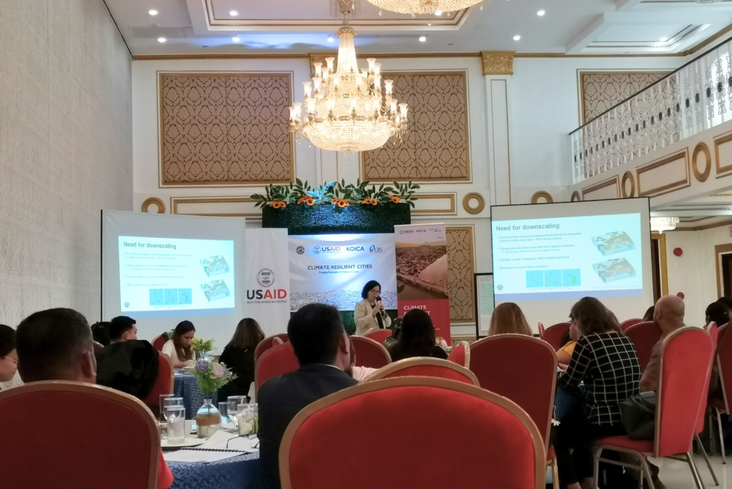
The Manila Observatory held another workshop on “Understanding the Latest Climate Science and Local Projections for Adaptation Planning” last August 28-30, 2024 in Batangas City.
The workshop aims to help local government and non-government stakeholders build their capacity in using climate information, including climate-adjusted hazard maps, to support risk-based local planning. It focuses on understanding the risks posed by natural hazards and how hydrometeorological hazards may change due to climate change.
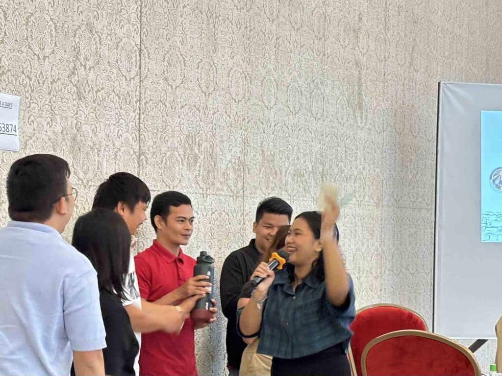
The workshop is designed to encourage stakeholder participation through various activities such as gamification of climate change and climate science discussions. The workshop includes six (6) key activities covering climate literacy, climate impacts, and solutions planning, along with three (3) short lectures on climate projections, local downscaling, and nature-based solutions.
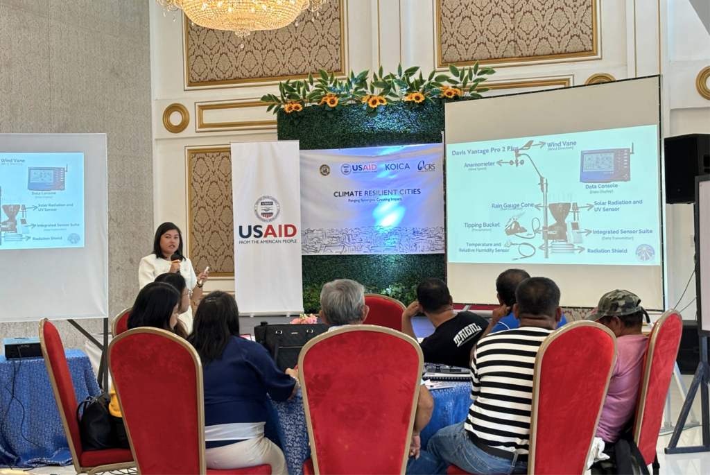
The workshop’s final day was dedicated to introducing automatic weather stations (AWS). During this session, the participants designed their own weather monitoring systems, including variables such as temperature, relative humidity, atmospheric pressure, wind speed, wind direction, precipitation, and solar radiation.
Results from these workshop activities can be used as reference materials for local adaptation plans, such as Climate and Disaster Risk Assessment (CDRA) and Local Climate Change Adaptation Plan (LCCAP).

